SAWS forecast for Thursday showing widespread rain and severe thunderstorm warnings, with the highest impact expected over Limpopo, Mpumalanga and KwaZulu-Natal.
Image: File
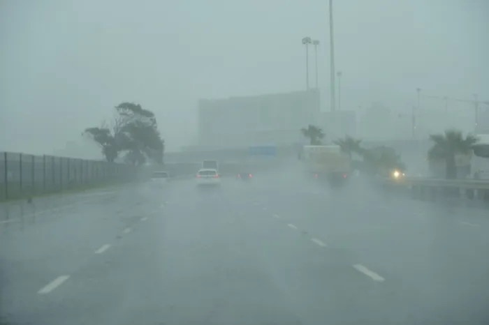
Thursday is shaping up to be a wet and disruptive day for large parts of the country, with widespread rainfall, severe thunderstorms and a risk of flooding in several provinces.
The South African Weather Service has issued multiple impact-based warnings as a slow-moving system brings heavy downpours to the eastern and northeastern regions.
Limpopo is of greatest concern, where widespread and disruptive rain is expected, particularly in the eastern parts.
Rainfall here is likely to be intense and persistent, increasing the risk of flooding in low-lying areas, damage to infrastructure and possible closure of major roads and bridges. Rain chances in this region are high, ranging between 80 and 100%.
Mpumalanga and parts of the northeastern interior will also experience significant rainfall, with scattered to widespread showers and thunderstorms expected.Rainfall probabilities sit between 60 and 80%, and localised flooding of roads, settlements and bridges is possible, especially where storms repeatedly affect the same areas.
Gauteng, including Pretoria and Johannesburg, can expect scattered showers and thunderstorms during the day, with rain chances around 60%. While not all areas will see heavy rain at the same time, some storms may produce strong downpours, leading to temporary flooding and slower travel conditions during peak hours.
KwaZulu-Natal will see widespread rainfall along the coast and adjacent interior, with rain chances of around 60% and increasing to 80% in the northern parts.
Severe thunderstorms are possible, bringing localised flooding, strong gusty winds and small hail in places. Eastern coastal areas may experience periods of steady rain that could disrupt outdoor activities and travel.
The Free State, North West and parts of the Northern Cape will experience more isolated to scattered showers and thunderstorms, with rain chances generally around 30%.
These areas are less likely to see severe impacts, but brief heavy downpours and lightning remain possible in isolated storms.
The western interior and much of the Western Cape interior will remain mostly dry, with little to no rainfall expected. However, along the southern and south-western coastline, including parts of the Garden Route, rain chances increase to about 60%, with cloudy, cool and occasionally wet conditions.
Residents in affected areas are urged to remain weather-aware, avoid crossing flooded roads or bridges, and allow extra travel time on Thursday as heavy rain and thunderstorms are likely to cause disruptions across large parts of the country.
IOL News